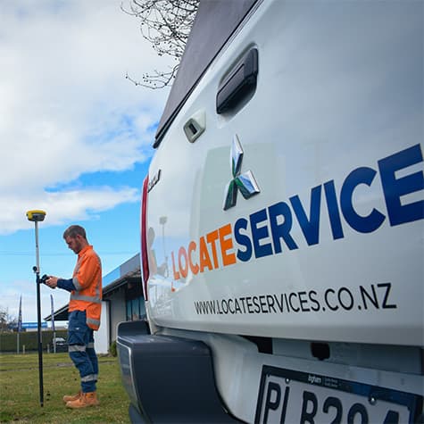
GPS Mapping
Get precise and accurate GPS mapping for your next project with our advanced technology
Looking for accurate and precise GPS mapping services for your next project? Our precision GPS mapping technology provides highly detailed and accurate maps of your project site, including elevation data and other important features. This allows project managers to plan their work more efficiently, reduce errors, and improve project outcomes.
Key Benefits
Precision GPS mapping is a service that provides highly detailed and accurate maps of project sites, including terrain, boundaries, and other important features. This technology allows project managers to plan their work more efficiently, reduce errors, and improve project outcomes.

Accurate Site Mapping

Efficient Project Planning

Reduced Project Risks

Improved Communication

Cost Savings
Infrastructure and construction projects require meticulous planning, and underground utility mapping and data collection are crucial steps in the process. With the advent of GPS technology, the mapping of underground utilities has become more accurate, streamlined, and cost-effective. Locate Services' Precision Underground Utility Mapping and Data Collection service can benefit your infrastructure project and help ensure its success.
Precision Underground Utility Mapping and Data Collection is the process of accurately identifying, locating, and mapping underground utility assets, such as water, gas, electricity, and telecommunication lines, using GPS technology. This process is critical for infrastructure projects, as it ensures that the project is not impeded by unforeseen utility lines and that construction work is conducted safely and efficiently.

Efficiently plan your project with our precise GPS mapping technology
Using specialised GPS equipment and software, our team can create highly precise maps of the locations of buried utilities and structures, including their size, depth, and orientation.
Our services are essential for contractors, builders, and homeowners who are planning to excavate or construct on their property. We can help prevent damage to underground utility lines, protect the safety of workers, and save time and money by avoiding unexpected delays.